Pandipedia entry

Navigators learned to read waves from stick charts
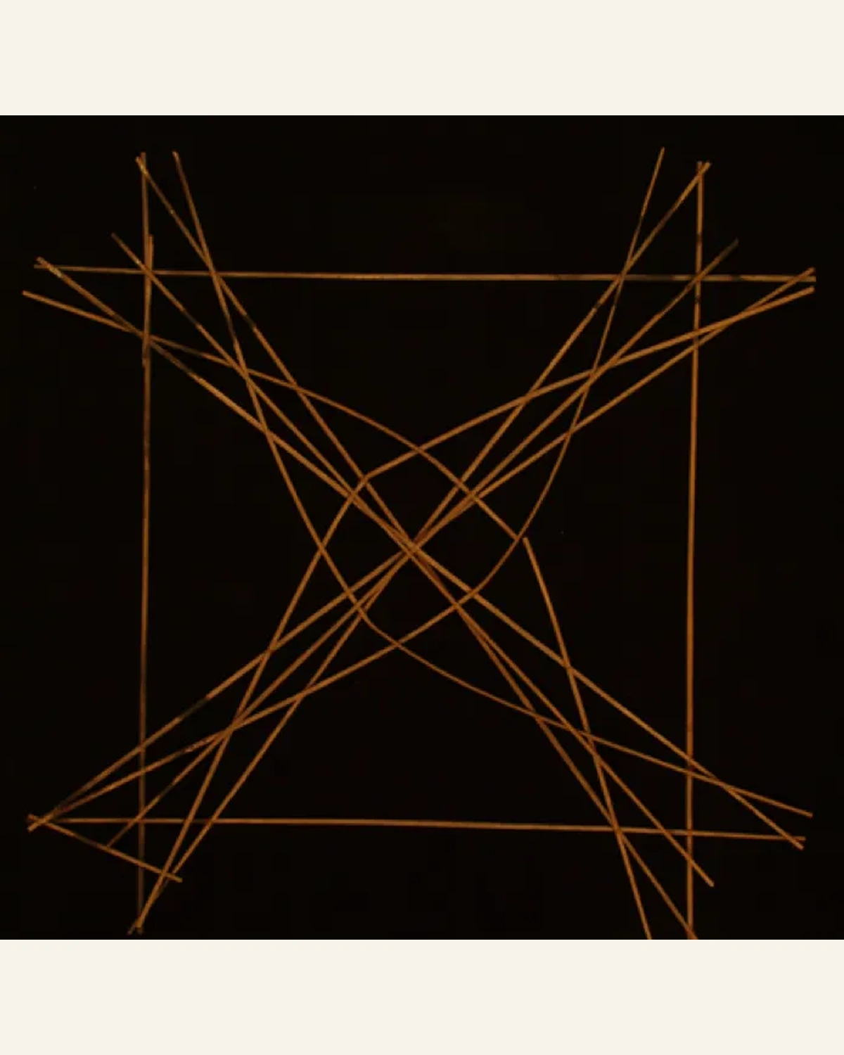
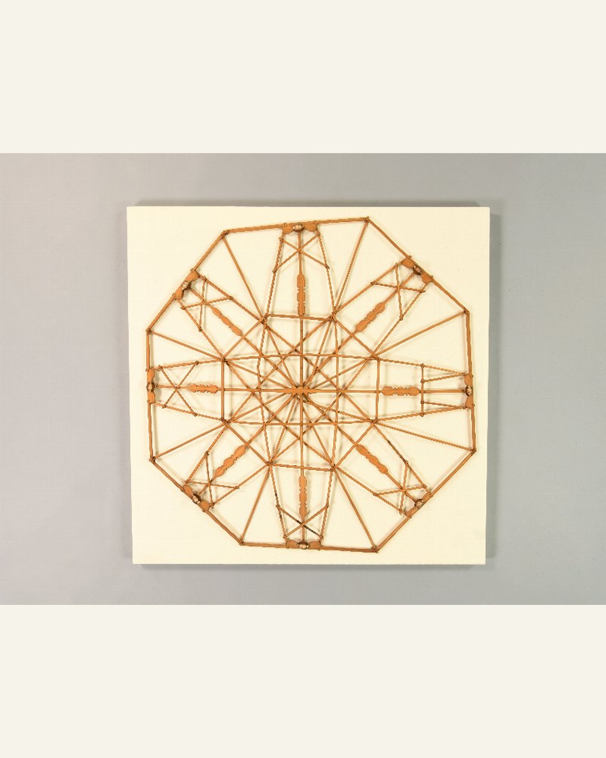
This chart maps the ocean's waves. Marshallese navigators made stick charts to teach how swells bend around islands. They studied them on land, then read those patterns at sea. A way to navigate by noticing what most of us would call just waves.
1/2
Sorry, Pandi could not find an answer.
Let's look at alternatives:
- Modify the query.
- Start a new thread.
- Remove sources (if manually added).